 |
||||
|
|
||||
 |
 |
|||

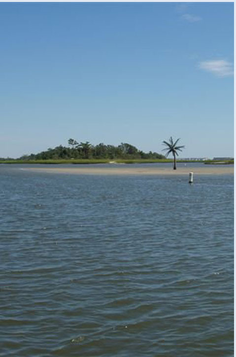
The area referred to as
the Cape Fear is the southernmost cape on the North Carolina Coast.
The "greater" Cape Fear area consists of four oceanfront counties.
New Hanover, which includes Wilmington, Figure Eight Island and
Wrightsville Beach, is a triangular area bordered by the Atlantic
Ocean on the east, the Cape Fear River on the west, and Pender
County to the north. Pender County includes the southern half of
Topsail Island. The northern half of Topsail is in Onslow County.
West of the Cape Fear River and south to the state line is Brunswick
County, one of the fastest-growing counties in the state.
Community Information |
||||
|
| ||||
MEET YOUR REALTOR | FEATURED LISTINGS | SEARCH MLS MAILING LIST | AREA INFO | WEBCAM | CONTACT ME | TAX INFO | HOME  |
||||
| ||||